|
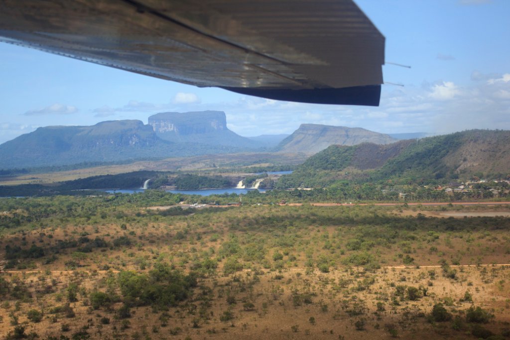 |
| Canaima Lagoon from thr plane | |
| Latitude: N 6°19'16,99" | Longitude: W 62°53'38,97" | Altitude: 928 metres | Location: Curatabaca | State/Province: Estado Bolívar | Country: Venezuela | Copyright: Ron Harkink | See map | |
| Total images: 70 | Help | |
|
|
|
| Canaima Lagoon from thr plane | |
| Latitude: N 6°19'16,99" | Longitude: W 62°53'38,97" | Altitude: 928 metres | Location: Curatabaca | State/Province: Estado Bolívar | Country: Venezuela | Copyright: Ron Harkink | See map | |
| Total images: 70 | Help | |